Long before modern maps, models, or restoration plans existed, this land quietly followed its own natural rhythm. Historical surveys from the late 1800s and early to mid-1900s tell a consistent and powerful story—one that has been overlooked in today’s planning process.
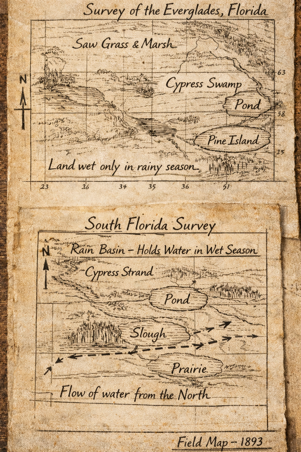
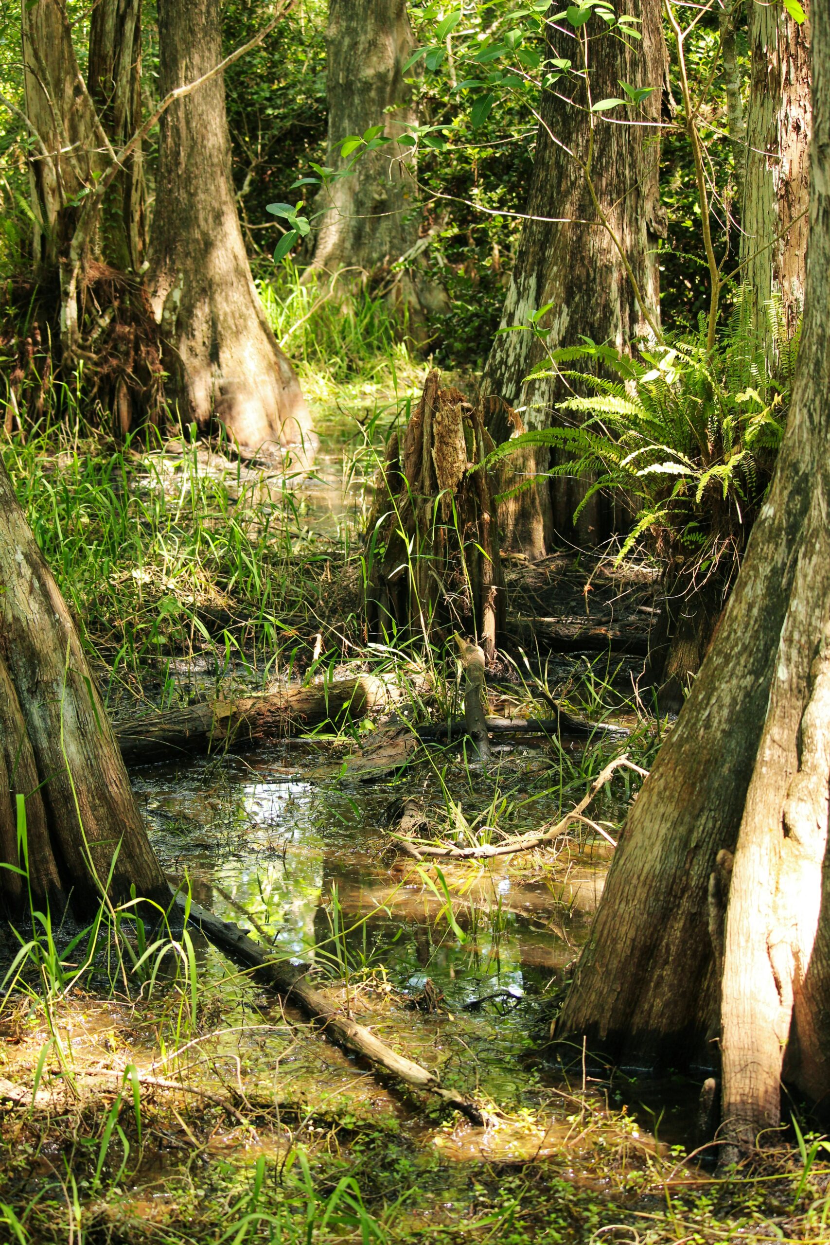
These surveys show that the West Everglades region was never a major river of flowing water. Instead, it functioned as an isolated rain basin, slowly filling during the wet season and gradually releasing water over time. The land absorbed rainfall naturally, supporting cypress swamps, upland islands, and the wildlife that depends on them. This balance existed for generations without the need for artificial intervention.
When water did move across the landscape, it came from the north and northeast, following subtle natural sloughs and lowlands toward the Reservation. Those historic flow paths were altered and ultimately cut off decades ago by large-scale infrastructure—government-built canals, levees, and fences designed for flood control and development, not restoration.
What’s critical to understand is this: the land didn’t change its nature. The infrastructure around it did. Treating this basin as a lost “natural flowway” ignores its documented history and risks forcing water where it never belonged. True restoration begins by listening to the land itself—and the historical record shows it has always known exactly how to hold water, not channel it.